
Bearden Falls
30 min · 1.2 mi RT · Moderate
About 30 minutes south, in the Blue Ridge WMA. Shorter and less crowded than Fall Branch, but the trail is steeper — good boots recommended.
Get directions →Waterfalls guide
Twelve of the best waterfalls within about two hours of Blue Ridge — with drive time from Cardinal House, trail length, and what makes each one worth the hike.
The Blue Ridge Mountains around Blue Ridge, GA are one of the densest waterfall regions in the Southeast — over a dozen named falls within a couple of hours, ranging from a 15-minute walk in flip-flops to a full-day hike on the Appalachian Trail. This guide lists twelve of the best, with the drive time from Cardinal House in Mineral Bluff so you can pair a morning waterfall with an afternoon in town.
They're split by how far you're willing to drive: under 45 minutes for the ones you can knock out before lunch, 45–60 minutes for the classic half-day hikes, and over an hour for the ones worth planning a whole day around. Every figure is the drive from the cabin, not from downtown Blue Ridge. Pair the map with the weekend plan to slot a waterfall morning next to dinner in town, or check the location FAQ for airport and drive-time context.
| Waterfall | Drive | Trail | Difficulty | Notable |
|---|---|---|---|---|
| Bearden Falls | 30 min | 1.2 mi RT | Moderate | Quieter alternative to Fall Branch |
| Fall Branch Falls | 37–39 min | 0.6 mi RT | Easy | Two-tier, dog-friendly |
| DeSoto Falls | 59 min | 0.5–2 mi | Easy | Family-friendly, near Vogel |
| Toccoa River Swinging Bridge | 55 min | 1 mi RT | Easy | Longest swinging bridge east of the Mississippi |
| Upper Moccasin Creek Falls | 55 min | 2.2 mi RT | Moderate | Tucked into Chattahoochee NF |
| Helton Creek Falls | 51–57 min | 0.3 mi RT | Easy | Two-tier near Vogel State Park |
| Toonigh Creek Falls | 60 min | 1 mi RT | Easy | Off the beaten path |
| Betsey's Rock Falls | 60 min | 1.5 mi RT | Moderate | Locals' pick |
| Amicalola Falls | 1h 01m | 0.4–2 mi | Easy–Hard | 729 ft — tallest cascading falls east of the Mississippi |
| Long Creek Falls | 1h 07m–1h 30m | 2 mi RT | Easy–Moderate | On a spur off the Appalachian Trail |
| Anna Ruby Falls | 1h 30m | 0.8 mi RT | Easy | Twin falls, paved & accessible |
| Keown Falls | 2h 01m | 1.8 mi RT | Moderate | Overlook + short loop |
30 min · 1.2 mi RT · Moderate
About 30 minutes south, in the Blue Ridge WMA. Shorter and less crowded than Fall Branch, but the trail is steeper — good boots recommended.
Get directions →37–39 min · 0.6 mi RT · Easy
Roughly 37 minutes south of Cardinal House on Aska Road, then Stanley Creek Road — paved except for the last 0.2 miles of gravel. Short — half a mile round trip on a well-maintained trail — with a wooden viewing platform at the base of a two-tier drop. This is the closest real waterfall to the cabin and the one to hit if you only have time for one. (Two sources publish it as 20 minutes; that is from Blue Ridge, not from here.)
Get directions →59 min · 0.5–2 mi · Easy
Near Vogel State Park, about 51 minutes east. Two named falls on one loop trail, easy grades, family-friendly.
Get directions →55 min · 1 mi RT · Easy
Not technically a waterfall, but the small cascades above the bridge and the bridge itself — the longest swinging bridge east of the Mississippi — make this a good half-day outing. About 55 minutes from the cabin, and the last three miles are slow going in any season.
Get directions →55 min · 2.2 mi RT · Moderate
Deeper into Chattahoochee National Forest — about 55 minutes and a moderate 2.2-mile round trip. Fewer people, older-growth trees, worth the drive.
Get directions →51–57 min · 0.3 mi RT · Easy
About 57 minutes east, up a gravel road near Vogel State Park. Very short walk to a lovely two-tier drop — good for combining with a Vogel lake day. Winter ice on the gravel is the practical limiter.
Get directions →60 min · 1 mi RT · Easy
Off the beaten path in the southern part of the county. Not maintained the way Fall Branch is — cell service drops out, and the last few miles are gravel — but locals rate it.
Get directions →60 min · 1.5 mi RT · Moderate
About an hour east near Suches. Named-attraction locals send. Moderate trail, real waterfall, low tourist traffic.
Get directions →1h 01m · 0.4–2 mi · Easy–Hard
About an hour south — budget 60 minutes, not the 30 that promotional copy claims. At 729 feet, it's the tallest cascading waterfall east of the Mississippi. There's a paved short walk to the base, and a much longer stair climb to the top with big views. State park with parking and restrooms — do this one on a full day.
Get directions →1h 07m–1h 30m · 2 mi RT · Easy–Moderate
Budget 70 to 90 minutes from the cabin, and more in wet weather — the approach is a long gravel drive, so no reliable measured figure exists. It sits on a well-trafficked spur off the Appalachian Trail near the Three Forks trailhead. If you want to say you hiked the AT for a bit, this is the shortest honest way to do it.
Get directions →1h 30m · 0.8 mi RT · Easy
Near Helen, about 90 minutes east. Paved, accessible trail to twin falls that share a viewing platform. Do this one after breakfast in Helen — and expect the approach to be materially worse on Oktoberfest and fall-color weekends.
Get directions →2h 01m · 1.8 mi RT · Moderate
The furthest — about two hours west, in the Cohutta area. Moderate loop trail with an overlook and a walk-behind view of the falls. Well worth a full day if you like the "no one else knows about this one" ones.
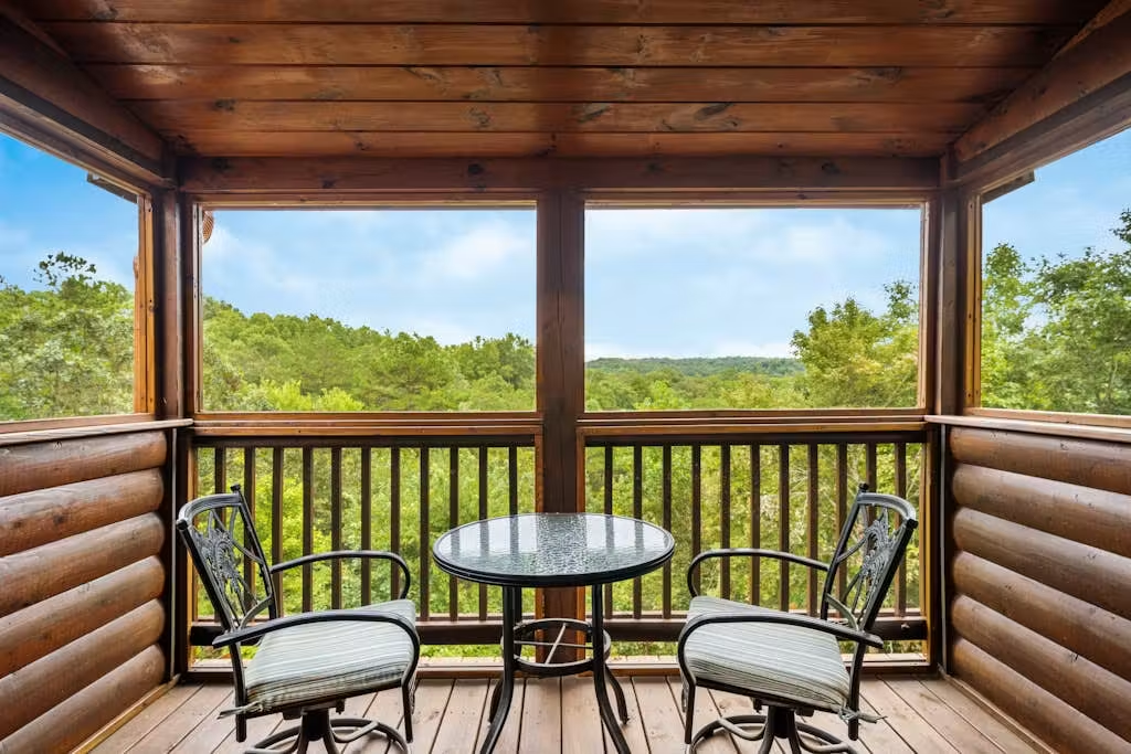
Get directions →Cardinal House is a three-bedroom cabin in Mineral Bluff, GA — the closest you can stay to the northern cluster of these falls without giving up the amenities you actually want after a hike. Hot tub, firepit, pet-friendly.
Where to book
Cardinal House is listed on VRBO, Casago (formerly Vacasa), and Airbnb. Rates and availability are synced — pick whichever you're most comfortable with.